PLANS
PEEL want to use four pieces of land behind Schofield Lane and Wigan Road.
Plot 1 - land to the right of Gibfield Park Way by the scrapyard
up to 170 houses up to 10 metres high (two metres higher than existing houses) NOTE: This is part of the current consultation and objections to the masterplan also need to specifically object to this phase 1 work to build houses significantly higher than existing homes.
Plot 2 - land near the public footpath on the left side before the Guide Dogs roundabout up to 40 houses same 10 metres high
Plot 3 - behind Schofield Lane and Wigan Road including farmland, horse fields and the hill 35,000 square metres of industrial units/warehouses and up to 100 houses up to 12.5 metres high (four metres + higher than existing homes) and will be towering over the area as units of 12.5 metres will be placed on the hill.
Plot 4 - behind the Guide Dogs centre and extending the new Popple development up to 280 houses.
This means units and housed that will be substantially higher than existing homes and will be raised on the land which is already higher than the roads.

What this means
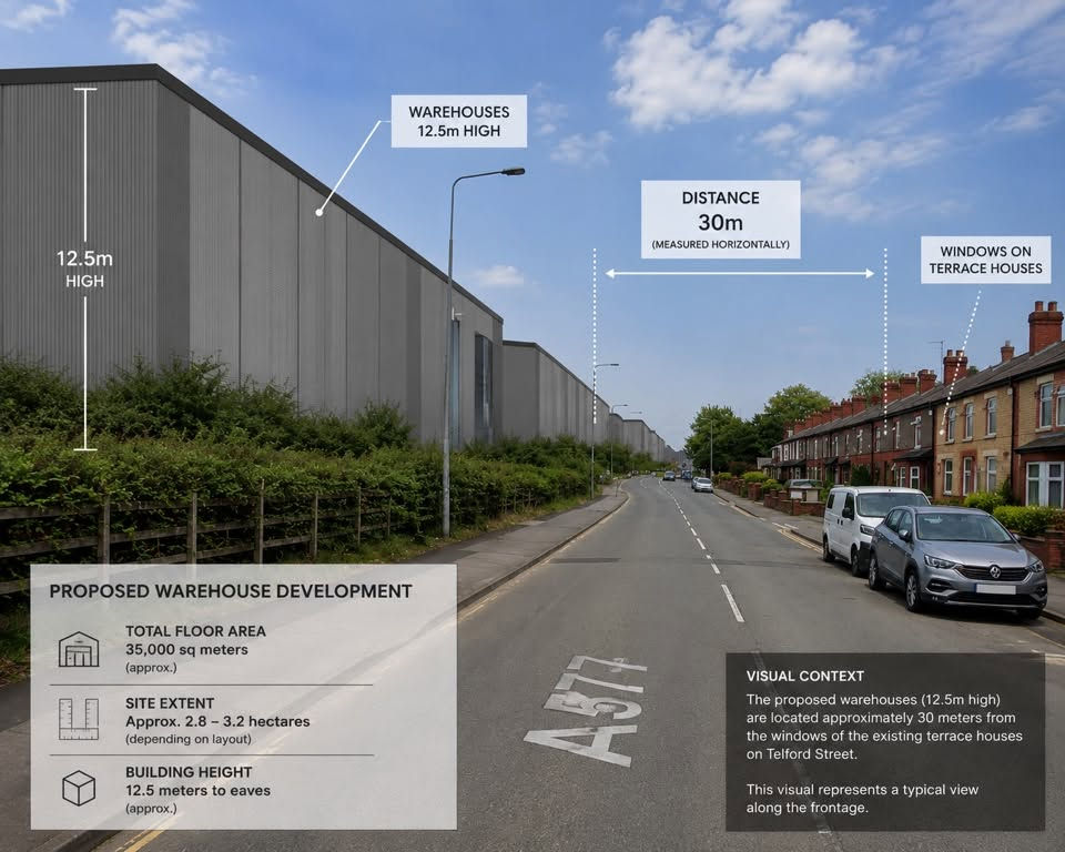
AI generated image of Wigan Road plans (Plot3)

From this.... To this....


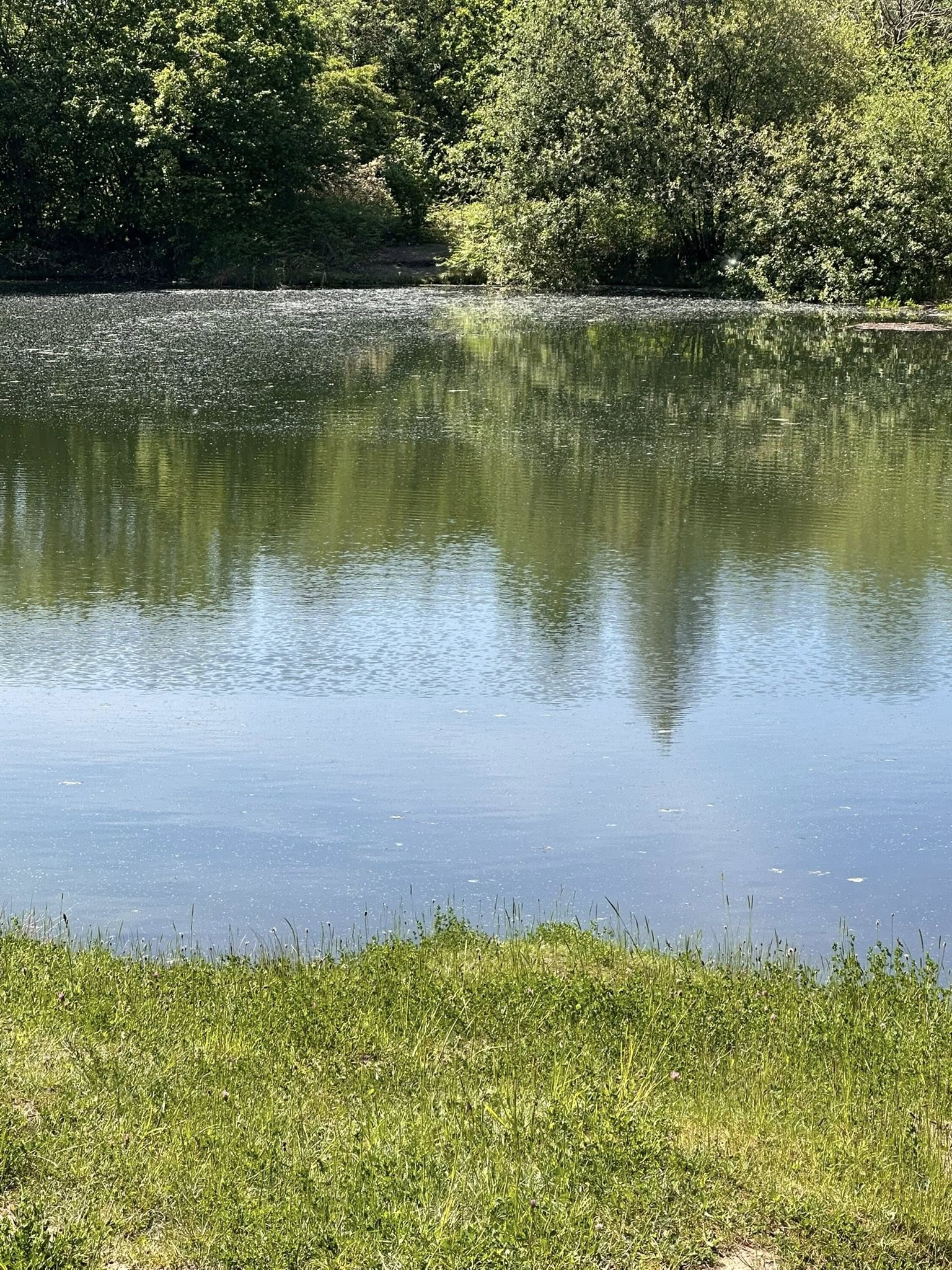
View from Schofield Lane as it would change under these proposals

Using the dimensions given, we have tried to show what the Wigan Road area would look like - similar to the AI image shown above.
The houses they want to build would be townhouses that they say are similar to new builds on Popple. This is 12.5 metres.
The image shows the height against existing terraced homes in the area.
The Gaps
There are key facts missing from the proposals, and information that is not provided. These including:
1. January 2026 Wigan Council was 150 per cent above their housing target.
2. Industrial and employment spaces around Atherton and nearby remain empty and unused.
3. More than 250,000 square metres of industrial/warehouse space has already been agreed within a 10 mile radius including Europe's largest at Wingates.
4. A high pressure gas pipe runs through the industrial units which is why the homes originally planned were moved to behind the scrapyard. It is not clear what damage could be caused if there was a disturbance of the pipeline.
5. The link road is unfunded and remains a 'road to nowhere'.
6. Funds to support schools, doctors and infrastructure remains unknown.
7. Developers have added the phase one consultation to this masterplan consultation which the Preservation Group believes is rushing development ahead disregarding residents and others concerns.
8. Developers keep referring to allocation under Places for Everyone but although the allocation establishes the principle of development it still requires the scheme to demonstrate compliance with a long list of PfE requirements.